Project Dams
Case study sites
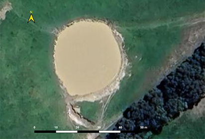
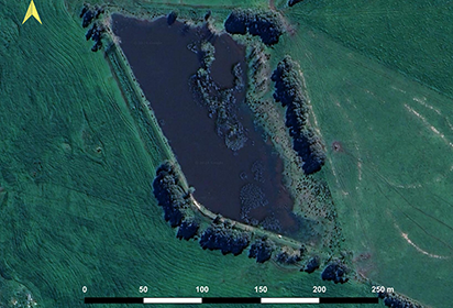
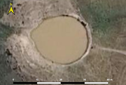
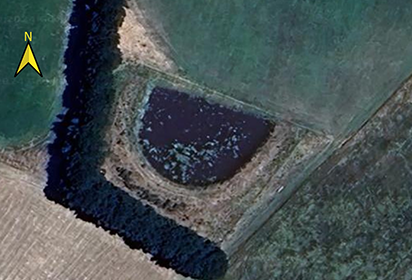
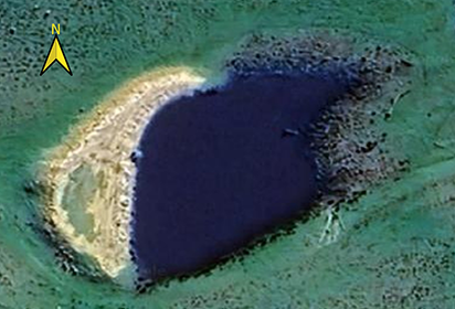
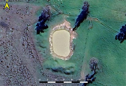
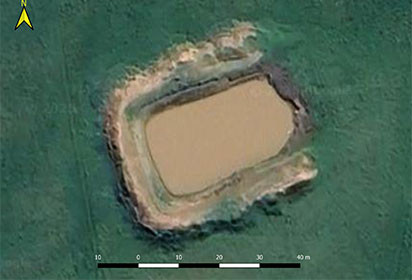
Monitoring sites have been established across 4 geographic areas within Victoria, Australia (Figure 1): 4 dams South of Ballarat, 3 dams West of Bendigo, 1 dam south of Leongatha, and 4 dams West of Wangaratta. The selection of dams was based on a mix of considerations around cooperating land owners and ease of access, advice from the partner farming groups (Southern Farming Systems, Birchip Cropping Group, Riverine Plains and Food and Fibre Gippsland), and relatively idealistic conditions including land use that was relatively stable across the monitoring period, no groundwater contributions and off waterways. All dams were located within catchments used for grazing or cropping, with some lightly or partially timbered.
Monitoring arrangements
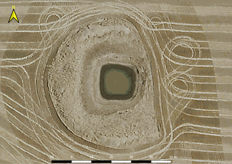
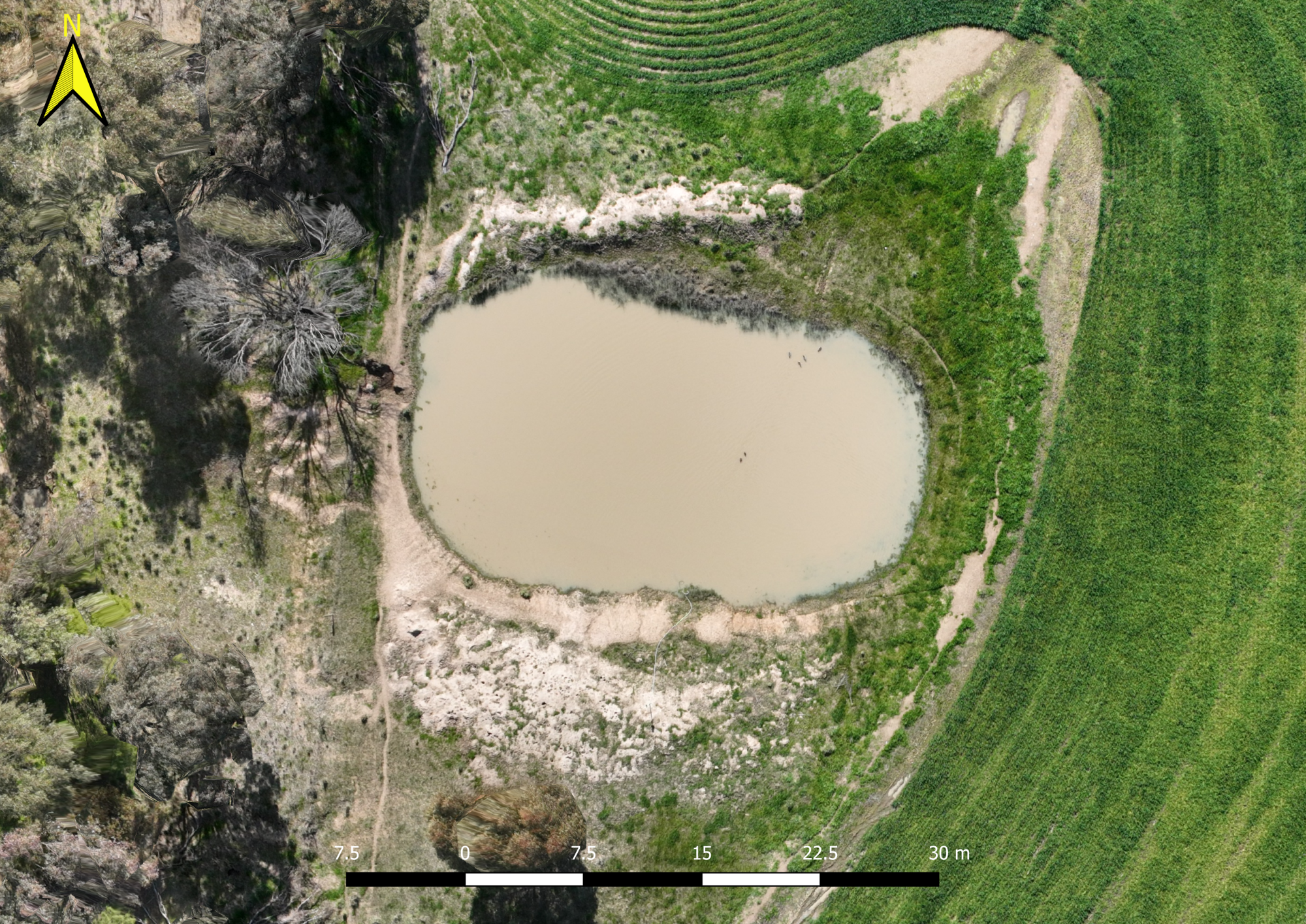
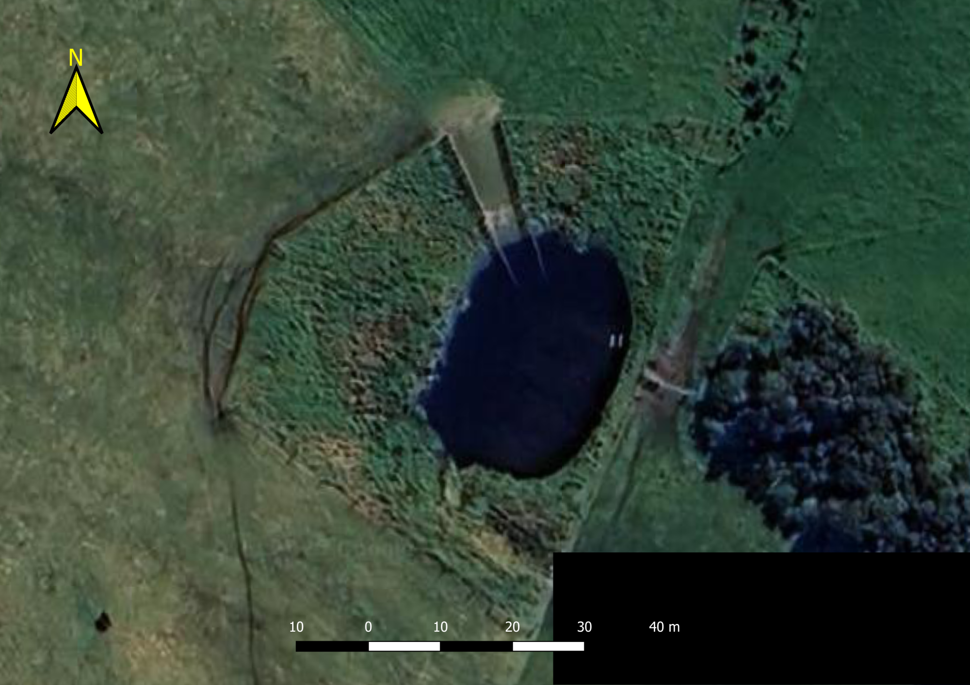
The monitoring at each farm dam consists of a fully automatic weather station, water level sensor, a soil moisture probe, along with RTU and data logger with solar charging. Details of the monitoring instruments are outlined in Table 1 with a typical farm dam and installation shown in Figure 1. Where the dam is subject to cattle or sheep access, fencing has been provided for protection. Where the catchment is subject to cropping, all cabling has been buried and sensors placed on fencelines or out of the way of farm machinery.
Table 1: Details of monitoring equipment.
Sensor and Specifications | Comment |
PT20 SDI-12 hydrostatic water level sensor. | 0-5m range, 0.1mm resolution and +/-0.25% accuracy. Installed to sit at the bottom of dam. |
TBSHTP06 SDI-12 air sensor, installed within a RK95-01 multi-plate radiation shield. | Air temperature (0.2°C resolution, 0-90°C range), relative humidity (+/-2% accuracy, 0-100% range), barometric pressure (+/-0.5hPa accuracy, 300-1250hPa range). Installed within a radiation shield. |
ADCON Wind sensor set vento1. | Wind speed (+/-0.3m/s accuracy, +/-0.1 m/s resolution, 0.4-55.56 m/s range) and direction (+/-2° accuracy, +/-1° resolution). |
Rika RK200-04 solar radiation sensor. | Measuring a spectral range of 300~1100nm wavelength (0-1500 W/m2 range, 1W/m2 resolution). |
EnviroPro ssoil moisture probe, EP100GL-08. | 8 sensors at 10 cm intervals and temperature enabled (0.01% resolution, +/-2% accuracy) |
RG1 Raingauge | 200 cm2 orifice, double tipping buckets at 0.2 mm resolution (+/-1% accuracy at up to 50mm/hr). |
ADCON Series 6 A764 RTU | Compact data logger with integrated 4G modem. |
Accessories include 2.4W solar panel, junction box (TBS04 8 Port SDI-12) and cabling (SDI12 7 pin M9) | Junction box to connect all sensors with the SDI-12 port of the data logger. Solar set charges a 2 AHr battery. |
Catchment Characterisation
Soil characterisation was undertaken for each catchment to help inform the rainfall-runoff relationships derived for each catchment. Soil profiles were described for the upper, middle and lower sections of each dam catchment according to the Australian standard methodsm (National Committee on Soil and Terrain 2009), and included profile descriptions for each soil series in the catchment if more than one was present. The descriptions included physical and chemical properties required for hydropedological characterisation, including infiltration testing using ring infiltrometers. The data is used to characterise the soil hydrology (infiltration, throughflow and interflow) in each catchment. Terrain and physiographic characteristics were derived from high resolution digital elevation models derived from the available Lidar survey data.
South West Dam 1
Location: Pittong, Golden Plains Shire, Corangamite CMA
Primary Land use: Mixed farming, grazing
Australian Drainage Division: Southeast Coast (Division II)
Australian River Basin: Lake Corangamite (Basin 34)
South West Dam 2
Location: Mount Mercer, Golden Plains Shire, Corangamite CMA
Primary Land use: Mixed farming, cropping and grazing
Australian Drainage Division: Southeast Coast (Division II)
Australian River Basin: Barwon River (Basin 33)
South West Dam 3
Location: Rokewood, Golden Plains Shire, Corangamite CMA
Primary Land use: Mixed farming, cropping and grazing
Australian Drainage Division: Southeast Coast (Division II)
Australian River Basin: Lake Corangamite (Basin 34)
South West Dam 4
Location: Meredith, Golden Plains Shire, Corangamite CMA
Primary Land use: Mixed farming, grazing
Australian Drainage Division: Southeast Coast (Division II)
Australian River Basin: Moorabool River (Basin 32)
North West Dam 1
Location: Shelbourne, City of Greater Bendigo, North Central CMA
Primary Land use: Mixed farming, grazing (western side); conservation area (eastern side)
Australian Drainage Division: Murray-Darling (Division IV)
Australian River Basin: Loddon River (Basin 7)
North West Dam 2
Location: Newbridge, Loddon Shire, North Central CMA
Primary Land use: Mixed farming; cropping and grazing
Australian Drainage Division: Murray-Darling (Division IV)
Australian River Basin: Loddon River (Basin 7)
North West Dam 5
Location: Shelbourne, Loddon Shire, North Central CMA
Primary Land use: Mixed farming; cropping and grazing
Australian Drainage Division: Murray-Darling (Division IV)
Australian River Basin: Loddon River (Basin 7)
North East Dam 1
Location: Boweya, Rural City of Wangaratta, Goulburn Broken CMA
Primary Land use: Mixed farming, cropping
Australian Drainage Division: Murray-Darling (Division IV)
Australian River Basin: Broken River (Basin 4)

North East Dam 2a
Location: Chesney Vale, Benalla Rural City, Goulburn Broken CMA
Primary Land use: Mixed farming; cropping and grazing
Australian Drainage Division: Murray-Darling (Division IV)
Australian River Basin: Broken River (Basin 4)
North East Dam 2b
Location: Chesney Vale, Benalla Rural City, Goulburn Broken CMA
Primary Land use: Mixed farming; cropping and grazing
Australian Drainage Division: Murray-Darling (Division IV)
Australian River Basin: Broken River (Basin 4)

North East Dam 2c
Location: Chesney Vale, Benalla Rural City, Goulburn Broken CMA
Primary Land use: Mixed farming; cropping and grazing
Australian Drainage Division: Murray-Darling (Division IV)
Australian River Basin: Broken River (Basin 4)

North East Dam 2d
Location: Thoona, Benalla Rural City, Goulburn Broken CMA
Primary Land use: Mixed farming; cropping and grazing
Australian Drainage Division: Murray-Darling (Division IV)
Australian River Basin: Broken River (Basin 4)
South East Dam 1
Location: Tarwin Lower, South Gippsland Shire, West Gippsland CMA
Primary Land use: Mixed farming, grazing
Australian Drainage Division: Southeast Coast (Division II)
Australian River Basin: South Gippsland (Basin 27)